THE MAPPING OF AFRICA. A Cartobibliography of Printed Maps of the African Continent to 1700
(Netherlands: HES & De Graaf Publishers BV, 2007).
FIRST EDITION OF THE MAGNUM OPUS AND A BRILLIANT AND VERY LEARNED WORK OF SCHOLARSHIP AND DEPICTION.
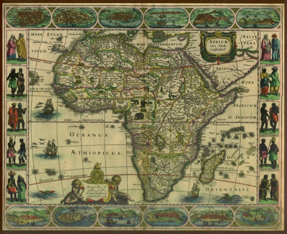
THE MAPPING OF AFRICA systematically categorizes and provides an overview of all printed maps showing the entire African continent published from 1508 to 1700. The author undertook a review of the literature, conducted an exhaustive investigation in many major libraries and private collections, analyzed these findings and then compiled information on 174 distinctly separate maps of the African continent. The Introduction contains information about the mapping of Africa before 1508, important world maps which include Africa, and a presentation of the major cartographic models developed for the book. The historiography in itself makes the book an extremely worthwhile addition to the literature of Africa and its exploration.
. Item #30418
First Edition. Profusely illustrated in colours throughout, beautifully printed and rendered with countless illustrations and maps throughout the text, and with 174 important maps of Africa dated from 1508 to 1700, a brilliant work of scholarship and decoration. Large 4to, publisher's original brown linen over boards, the spine and upper cover lettered in gilt, in the cartographically illustrated dustjacket printed in colours. 540 pp. A pristine copy, especially fine, and near as mint.