AMERICAN ACTIVITIES IN THE CENTRAL PACIFIC, 1790-1870. A History, Geography, and Ethnography Pertaining to American Involvement and Americans in the Pacific Taken from Contemporary Newspapers etc. Introduction by Ernest S. Dodge Director, Peabody Museum, Salem, Massachusetts
(Ridgewood, NJ.: The Gregg Press, 1966-1967).
AN EXTENSIVE HISTORY OF AMERICAN INVOLVEMENT IN THE PACIFIC DURING THE FIRST ONE HUNDRED YEARS OF THE NATION'S HISTORY. IIncluded are details and descriptions of activities such as exploration, trade, missions, whaling, and hunting. The information is arranged by geographic location and ordered alphabetically: Volume I Abaiang to Baker, Volume 2 Bampton Reefs to Futuna, Volume 3 Gaferut to Kwajalein, Volume 4 Ladd's Island to Motu Iti Rock, Volume 5 Namoluk to Pingelap, Volume 6 Pitcairn to Tabiteuea, Volume 7 Tahiti to Zephyr Shoal. The remaining volume contains a key to the heading, appendices, and an index to vessels, persons and ports, and an index to subjects and islands, and sources. Item #30932
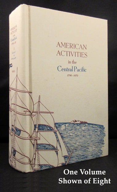
8 volumes. First edition. Extensively illustrated, the volumes with well over 250 plates, portraits, facsimiles, and maps and charts, the majority of which are folding. The illustrations are primarily sourced from the Peabody Museum. And with a separate stash of six loose huge folding maps in slipcase. Tall, thick 8vos, in the publisher's original course buckram with an all-over design featuring umber ship's rigging passing over a blue sea with umber island in the distance, upper covers and spines with lettering in blue and umber. As issued, Volume I accompanies the large folding maps that are housed in a slipcase designed for the purpose. A very fine set, the text pristine and the cloth bindings in beautiful condition with only the faintest hint of mellowing at the spine panels almost too trivial to mention. The large folding maps are also perfect and as pristine. The slipcase which holds the folding maps and Volume I is a touch rubbed.